 Minneapolis resident Iris Key has spent a lot of time on Route 6.
As a student at the University of Minnesota, Key rode the bus between campus and her Uptown residence. When she got a job near Edina’s Southdale Center, she used Route 6 to commute to and from work. Now, nearly 15 years after she began riding, Key continues to use Route 6 to get to appointments, run errands or go out in downtown Minneapolis.
“The 6 really is my bus,” Key said this week, returning home after visiting the dentist. “I love it because it’s so dependable and reliable. It’s always there when I need it.”
Key isn’t the only person who has come to see Route 6 as a reliable way of getting around. Several Route 6 customers said in recent onboard interviews that the bus is a mainstay of their daily travels, allowing them to save money, avoid parking hassles and limit their own driving.
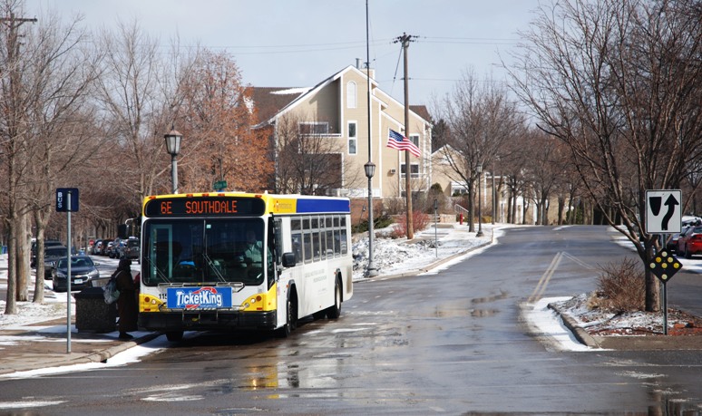
Traveling northbound, Route 6 buses run from the Bloomington-Edina border near I-494 and France Avenue, stopping at the Southdale Transit Center before making their way past homes, parks and businesses in southwest Minneapolis on Xerxes, France or Wooddale avenues. The France Avenue branch serves 50th & France and another retail nodes at 44th Street; the Xerxes Avenue branch runs though the Linden Hills retail area west of Lake Harriet.
In Uptown, buses stop at the Uptown Transit Center and continue on Hennepin Avenue to downtown Minneapolis and the U of M.
Students, workers and residents use the route as a way to get to work or school, run errands or get to entertainment in Uptown or downtown.
Sarah Koster, who lives in Uptown, uses Route 6 for all of those reasons. During the week, she rides to her job in the Warehouse District; on weekends she rides downtown for events like Timberwolves games. “I have a vehicle, but I rarely if ever use it,” she said.
Erick Briden, who boarded in Linden Hills, uses Route 6 to get to class at Minneapolis Community & Technical College on Hennepin Avenue and to get to jobs in Edina and Hopkins (transferring to Route 12 in Uptown). As a pre-med student, Briden said riding the bus allows him to remain productive while getting where he needs to be.
“I do homework, general research and, when I’m feeling really disciplined, I’ll read,” he said.
While Koster and Briden both occasionally drive, some Route 6 customers say using transit has allowed them to live completely car-free.
Janne Flisrand has never owned a vehicle and has relied on Route 6 since moving to Uptown in 1996. Flisrand takes Route 6 to her shared workspace in downtown Minneapolis and also bikes, uses car-sharing and routes 2, 3, 21, 63 and 94 to get around.
 By cutting her transportation costs, Flisrand said she has been able to build her retirement account and invest in her home. Beyond saving money, though, she said taking transit makes her feel more connected to the community.
“Riding the bus reminds me how interesting the cities are and how I don’t get to see that in everyday life,” she said. “I like being reminded of that.”
Route 6 also provides a reminder of how people used to move around the Twin Cities.
The route closely parallels two of the Twin Cities most historic streetcar lines, the Como-Harriet and Oak-Harriet streetcar lines, which operated until 1954. The lines served as commuter routes while providing access to the Chain of Lakes and points further west.
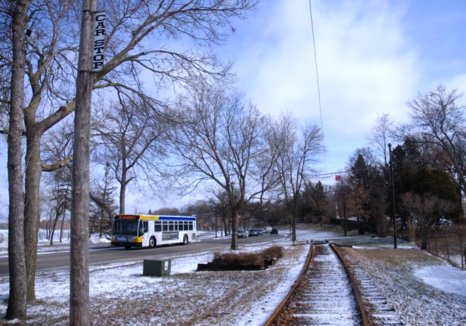
Today, the Minnesota Streetcar Museum maintains a portion of the streetcar track between Lake Calhoun and Lake Harriet and invites the public to take trips on a restored streetcar between May and November.
While streetcars have vanished, Route 6 customers will soon have a new way to ride the rails when the METRO Green Line opens June 14. Route 6U’s western end, which now stops west of TCF Bank Stadium, will be stretched further to the east to connect with the Green Line’s Stadium Village Station and Prospect Park. Customers can also transfer to the METRO Blue or Green lines at the Warehouse District/Hennepin Avenue Station.
Heather Klopotek, who rides Route 6 between Uptown and her job at the U of M, said she will use the Green Line to visit friends in St. Paul. Klopotek said she has avoided going to St. Paul in the past because it means having to drive or taking a longer bus trip.
“I see myself spending a lot more time in St. Paul with the train,” she said.
Quinn Sahulka, who lives in downtown Minneapolis and takes Route 6 to class at the U of M, said she too will be more likely to visit St. Paul once Green Line trains are running. Sahulka doesn’t own a vehicle and said the idea of a long bus ride has kept her from visiting museums and other St. Paul locations she’s always been interested in seeing.
“I’m so excited that I’ll finally be able to explore St. Paul without it having to be such a trying experience,” she said.
 Route 6 At a Glance
Type: Urban local
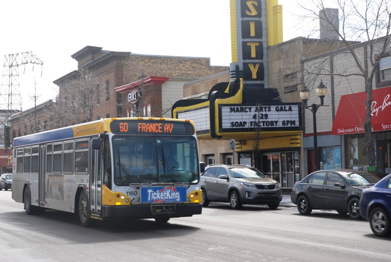
Service: Route 6 serves Edina, southwest Minneapolis, Uptown, downtown Minneapolis and the University of Minnesota. On its south end, Route 6 provides limited service to an industrial area in the northeast corner of the Highway 100 and Interstate 494 interchange. Traveling northbound, Route 6 buses travel along the France Avenue corridor, serving shopping centers and Centennial Lakes Park, a mix of parkland, offices and housing. Buses stop at the Southdale Transit Center before entering Minneapolis and continuing north on branches that serve Woodale, France or Xerxes avenues. All branches converge south of Lake Calhoun and continue north to the Uptown Transit Center and along Hennepin Avenue to downtown Minneapolis. After crossing the Hennepin Avenue Bridge, northbound Route 6 buses travel on University Avenue SE to Oak Street, near the University of Minnesota’s TCF Bank Stadium. Southbound buses return to downtown Minneapolis on 4th Street SE. Buses run every four to 10 minutes during rush hour, every 10 to 15 minutes midday and every 15 minutes on evenings and weekends. On weekdays, service runs from approximately 4:30 a.m. to 2 a.m.
Route Length: Approximately 19 miles
Stops: 167 northbound, 167 southbound
Vehicles: 40-foot standard diesel and hybrid buses
Ridership: More than 2.7 million total passenger boardings in 2013 (an increase of more than 47,000 rides compared to 2012) with an average of nearly 7,500 rides per weekday.
History: Electric streetcars ran on the Como-Harriet and Oak-Harriet streetcar lines between 1891 and 1954. The Como-Harriet line ran down France Avenue and the Oak Harriet line ran down Xerxes Avenue. Both continued to downtown Minneapolis, the U of M and St. Paul. At the U of M, streetcars traveled through Dinkytown on 4th Street SE. In Minneapolis, streetcars traveled on Hennepin Avenue to 31st Street, east of Lake Calhoun, before continuing south on private right of way to Lake Harriet. West of Lake Harriet, streetcars diverged into branches that went west to Hopkins or south on France and Xerxes avenues. The Como-Harriet and Oak-Harriet streetcar lines were popular routes for lake-bound residents, but they also were key links for those traveling downtown or to the U of M for work and school. The Como-Harriet line connected with all the major lines in downtown Minneapolis and downtown St. Paul and operated around the clock seven days a week. In 1952, France Avenue was repaved and streetcars were replaced with shuttle buses in Edina. Buses replaced streetcars completely in 1954. These were the last streetcar lines to be replaced with bus service in the Twin Cities. From May through November, restored streetcars make round-trips on a section of the Como-Harriet line between Lake Calhoun and Lake Harriet. The Minnesota Streetcar Museum maintains the tracks, streetcars and Linden Hills Station.
Future: Route 6U will be extended east from Oak Street to 27th Avenue SE to provide a connection to the METRO Green Line’s Stadium Village Station. Route 6 customers will also be able to connect with the Green and Blue lines at the Warehouse District/Hennepin Avenue Station.