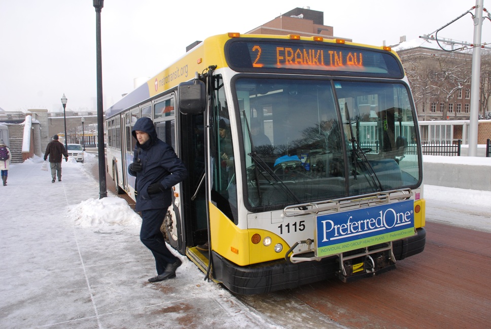
 When Pete Huff moved to the Twin Cities a few months ago, he looked for a location that would allow him to continue living a car-free life. He found it in the Seward neighborhood, where he can readily access the METRO Blue Line and connecting bus routes.
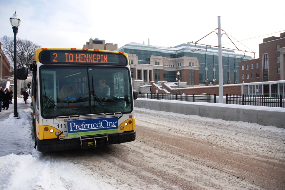
The route he turns to when traveling to and from work every day: Route 2, which runs along Franklin Avenue between Hennepin Avenue and the University of Minnesota and connects with the Blue Line’s Franklin Avenue Station.
“I chose to live where I live because I knew I could pretty much get anywhere in the city – east, west, north or south,” Huff said during a recent westbound trip on Route 2.
The ambition to go without a car was shared among several customers recently interviewed aboard Route 2. Others on the bus said they couldn’t afford to have a vehicle or simply preferred the convenience of using transit to get around.
Bruno Oakman is among those who use Route 2 and believe it to be easier than driving. Oakman works at The Commons Hotel, on Washington Avenue, and takes the bus to avoid traffic and parking costs on the U of M campus.
“I like being able to relax, catch up on e-mail and take some time for myself,” said Oakman, who walks less than a block from his home to catch the bus.
While Oakman was on his way to work, many others on Route 2 were on their way to class at the U of M or Augsburg University. Traveling eastbound from Franklin Avenue, Route 2 buses continue north on Riverside Avenue to the West Bank, cross the Mississippi River on the Washington Avenue Bridge and run through the heart of the East Bank campus on the Washington Avenue Transit Pedestrian Mall. At the far east end, Route 2 travels on 4th Street SE and University Avenue, serving Dinkytown and residents in the Marcy Holmes neighborhood.
 U of M student Marie Barland lives in Uptown and has used Route 2 throughout her college career. Instead of owning a car and driving, she has a $97-a-semester U-Pass and gets unlimited bus and METRO rides.
“I’m one of those rare people who never got my license and take Metro Transit everywhere,” said Barland, who uses the money she saves on transportation to travel.
Students and others who use Route 2 will have even more connectivity when the METRO Green Line opens June 14.
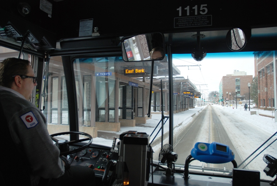
On the west end of the Washington Avenue Bridge, Route 2 will connect with the Green Line’s West Bank Station, located on Washington Avenue between 19th and Cedar avenues. On the other side of the bridge, Route 2 customers can get off at Coffman Memorial Union and access the East Bank Station.
The new rail connections will allow customers to travel east through campus towards downtown St. Paul on University Avenue. Green Line trains will travel westbound to Target Field, sharing five Blue Line stations in downtown Minneapolis.
Johanna Gorman-Baer lives near Franklin and Cedar avenues and uses Route 2 to visit friends near the U of M. Gorman-Baer said she is looking forward to the Green Line’s opening so she can explore more parts of St. Paul. She is considering moving nearer to the Green Line so she can have easier access to frequent, all-day transit.
“I’m looking for a new apartment and that’s the number priority – living along some form of major transit line,” Gorman-Baer said.
Shawn Vriezen is also looking forward to the expanded options the Green Line will offer. Vriezen uses Route 2 to get to work on the East Bank, but also bikes and uses car sharing services like Car2Go to visit friends and run errands as a way to avoid car ownership. Green line trains will only open his horizons that much more, Vriezen said.
“I don’t go to St. Paul as much as I used to, but that pretty much opens up all of University and downtown,” he said.
However Route 2 changes as a result of the Green Line, operator C.J. Camp said it’s likely to remain one of his favorites. Camp has driven the route off-and-on over the last 12 years and said he enjoys the mix of customers and destinations he encounters while traveling east and west.
“It’s got a real-cross section of the city," he said. "No matter what time of day, it’s always lively.”
 Route 2 At a Glance
Type: Urban Local
Service: Route 2 runs between Hennepin Avenue and the U of M, largely along Franklin Avenue. Traveling east, buses run from Hennepin and Franklin avenues to the METRO Blue Line’s Franklin Avenue Station. The route continues northbound at Riverside Avenue and crosses the Mississippi River on the Washington Avenue Bridge, running through the heart of the U of M’s East Bank campus on the Washington Avenue Transit Pedestrian Mall towards Dinkytown. Route 2’s eastern terminus is located at 6th Street SE and East Hennepin Avenue, which has a high concentration of student housing. Buses run from approximately 5 a.m. to 1 a.m. daily with service every 5 to 15 minutes during rush hour, every 15 minutes midday and every 20 to 30 minutes on evenings and weekends.
Route Length: Approximately 8 miles
Stops: 48 eastbound, 47 westbound
Vehicles: Standard 40-foot
Ridership: More than 1.67 million customer boardings in 2012, with an average of 4,576 passengers per day.
History: When Route 2 began in 1971, it crossed the Mississippi River on Franklin Avenue and stopped short of the U of M campus. The route was later moved to Riverside Avenue so that it served Riverside Medical Center, Augsburg University and Washington Avenue, on the U of M campus. The change led to a dramatic increase in ridership. Metro Transit introduced a service connecting student housing on 8th Street SE and later combined it with Route 2 to create the roughly 8-mile route that exists today. Ridership expanded when the U Pass was introduced in 2000 and again in 2004 with the opening of the METRO Blue Line
Future: When the METRO Green Line opens June 14, Route 2 will connect with the West Bank Station and East Bank Station and share right of way with Green Line trains on the Washington Avenue Transit/Pedestrian Mall. Service will continue at its existing level.